Services
Topographic Works
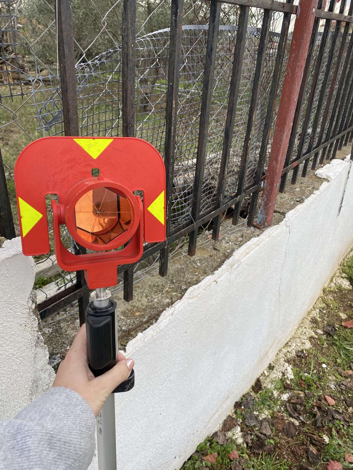
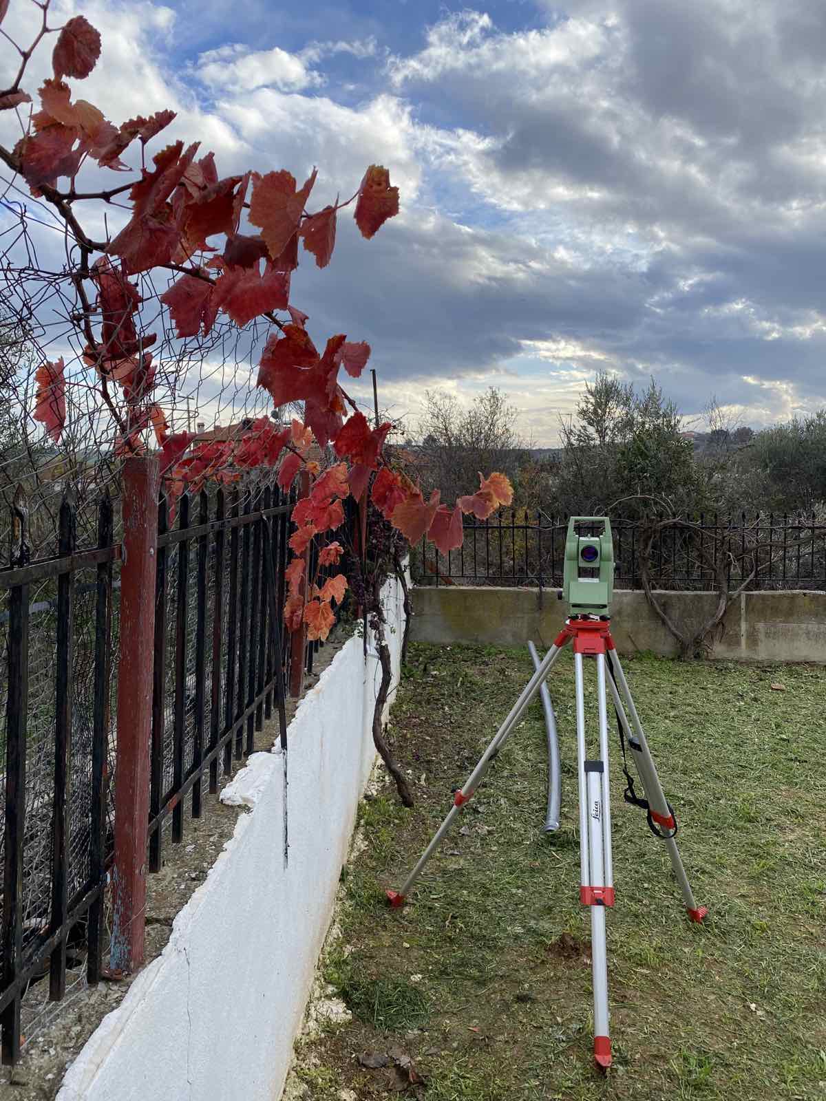
Our office covers all objects related to the science of Topography. We have sophisticated machinery for use in the field and modern office equipment that allow us to perform with speed and immediacy all types of surveying, engravings, and drawings.
- topographical diagrams
- TOPOGRAPHICAL IMPRINTS
- ΧΑΡΑΞΕΙΣ & ΟΡΙΟΘΕΤΗΣΕΙΣ ΑΚΙΝΗΤΩΝ
- ΚΑΤΑΤΜΗΣΕΙΣ ΟΙΚΟΠΕΔΩΝ & ΓΗΠΕΔΩΝ
- ΣΥΣΤΑΣΗ ΟΡΙΖΟΝΤΙΩΝ & ΚΑΘΕΤΩΝ ΙΔΙΟΚΤΗΣΙΩΝ
Also, our technical office undertakes photointerpretation studies, through which we can detect evidence of past years and distinguish the spatio-temporal changes of each property, using, of course, the appropriate tools. These data are of a universal and conclusive nature, as they are indisputable and through them useful information can be extracted.
The land register is a complete record of all real estate and the rights (registrable) over it throughout the country, in order to protect and register it. Every natural or legal person who has a right in rem or a registrable right to a property is obliged to submit a declaration to the Cadastre.
Required Documents:
- A simple photocopy of your identity card or passport
- A simple photocopy of a document proving your tax identification number (e.g. tax statement, E9, etc.)
- A simple photocopy of the title deed (e.g. contract, court order) that documents your right to the property
- A simple photocopy of the certificate of transfer of your title to the Land Registry Office
- A topographical diagram of the property or any other document showing the location of the property, in the case of a divided section or the establishment of vertical ownership
To make your new idea a reality
Get in touch with us today!
CONTACT US
- Chora, Naxos
- +30 22850 26774
- +30 697 0651052
- +30 698 4349532
- [email protected]
Social Networks
Cycladic Exclusive Developments
© Copyright 2023 | Cycladic Exclusive Developments | All Rights Reserved | Web Design Manos Anevlavis